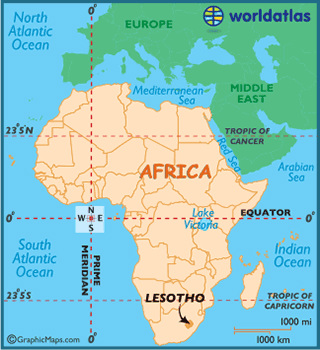
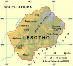
Lesotho
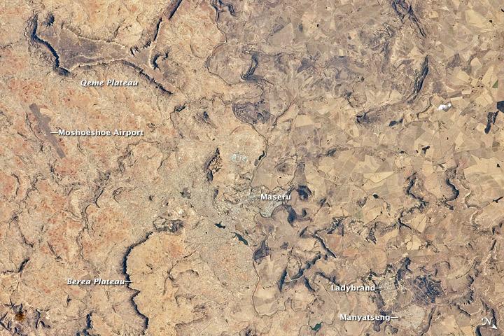
Capital: Maseru
Area:
total: 30,355 sq km land: 30,355 sq km
water: 0 sq km
Comparative to U.S.:
slightly smaller than Maryland
Land Boundaries:
total: 909 km border countries: South Africa 909 km
Coastline:
0 km (landlocked)
Climate: temperate;
cool to cold, dry winters; hot, wet summers
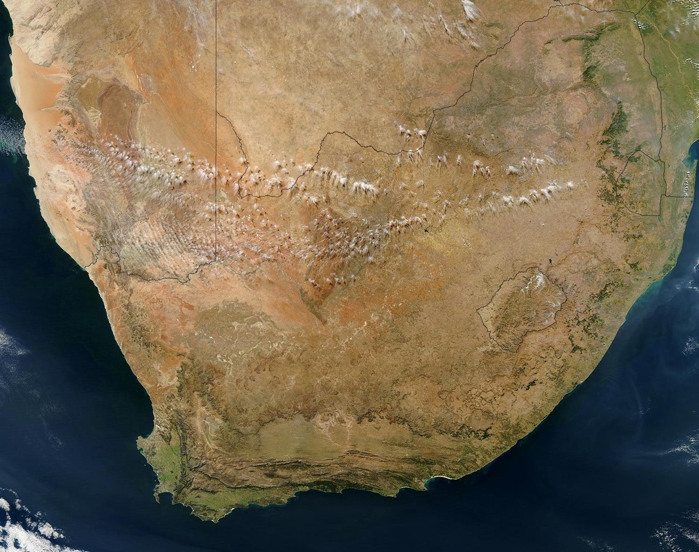
Terrain:
mostly highland with plateaus, hills, and mountains
Elevation Extremes:
lowest point: junction of the Orange and Makhaleng Rivers 1,400 m
highest point: Thabana Ntlenyana 3,482 m
Area:
total: 30,355 sq km land: 30,355 sq km
water: 0 sq km
Comparative to U.S.:
slightly smaller than Maryland
Land Boundaries:
total: 909 km border countries: South Africa 909 km
Coastline:
0 km (landlocked)
Climate: temperate;
cool to cold, dry winters; hot, wet summers
Terrain:
mostly highland with plateaus, hills, and mountains
Elevation Extremes:
lowest point: junction of the Orange and Makhaleng Rivers 1,400 m
highest point: Thabana Ntlenyana 3,482 m
|
|
